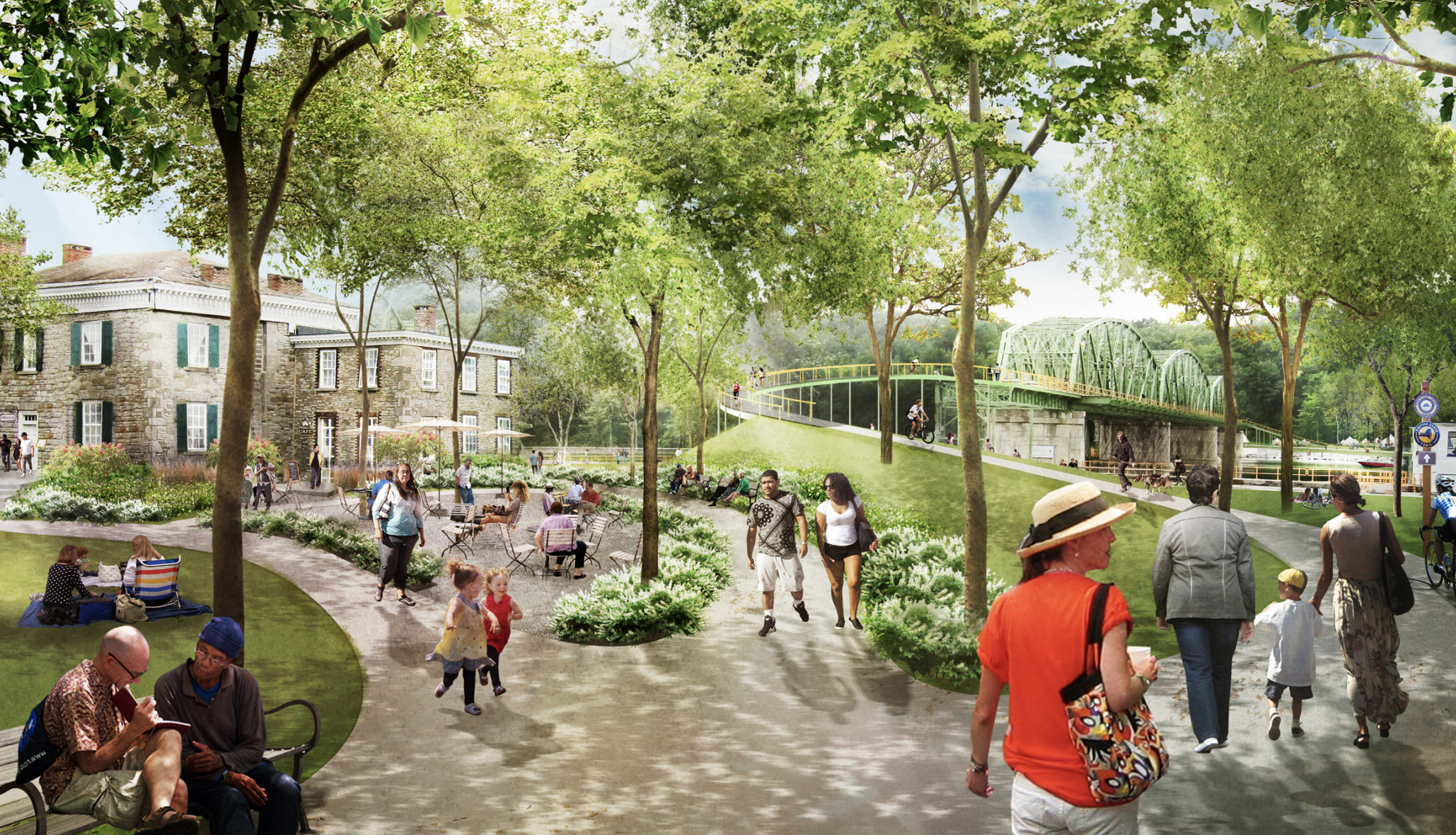
Reimagine the Canals
Reimagining the Erie Canal in one of the largest infrastructure projects in the US.
CHALLENGE
To improve community resilience in Upstate NY, provide expanded and new recreational opportunities, revive damaged ecosystems, and improve quality of life for the 3.6 million people who live on its banks.
PROJECT
To demonstrate how this historic infrastructural asset can promote the health and well-being of upstate New York’s communities, economies, and ecosystems.
DETAILS
Governor Cuomo announced $300 million investment to support the Reimagine the Canals initiative.
Governor Cuomo announced $300 million investment to support the Reimagine the Canals initiative.
The Erie Canal cuts across 360 miles of New York State - through major cities and small towns, mountains, marshes, and farmland.
Each watershed is characterized by unique forms of infrastructure necessary to support the waterway’s integrity and use, the
NYS Barge Canal system: a man-made channel in the west (emptied for maintenance in the winter),
the central portion, and the Mohawk River Valley in the east.
The story of the Erie Canal is the story of America: it provided a critical supply line that in many ways “made the nation,” moving trade and settlement from the east coast into the center of the country.
This historic waterway tells a story of leadership in innovation and industry, of westward expansion, and of courage, foresight, and agile adaptation in the face of changing circumstances.
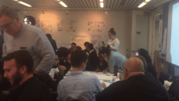
Process 2: History
Before the Erie Canal, a traveler between Albany and Buffalo would face a two-week journey on roads that baked in the summer and dissolved in a sea of mud in winter; after the Canal opened in 1825, that same trip could take five days. The Canal thus provided a critical supply line that in many ways “made the nation,” moving trade and settlement from the east coast into the center of the country. As the 19th century wore on, the Canal struggled to accommodate traffic and increasingly large barges.
While the Barge Canal did attract a significant amount of cargo in its early decades, increasingly stiff competition from railroads and new competition from roads and highways would make its success short-lived. Recognizing the decline in commercial shipping, New York State undertook a number of initiatives in the late 20th century to examine opportunities for recreation along the waterway. As the Erie Canal enters its third century, it also stands poised for its third reimagining. This waterway's colourful history sets the stage for the visioning, engagement and analysis undertaken by the Reimagine the Canals Task Force.
Process 3: Resilience
Canal infrastructure and the communities it abuts face significant climate-related and resilience challenges – challenges that are more acute with each decade. Floods have been recorded in the Mohawk River Valley since the 1600s, but climate change has increased the frequency and intensity of flood-inducing storms: four of the region’s six most destructive floods have taken place in the last ten years.
The task force used flood modelling to evidence that mitigating the effects of ice jams, reduces summer flooding, and improves forecasting and early-warning systems in ways that allow residents to better prepare for flood events and lead to the benefits that come from reviving natural systems. My analysis demonstrated that tributary connection would reduce flooding by 2ft on average, totalling $3.4 million in reduced property damage, as well as increasing the ecosystem complexity and ecological benefit.
Process 4: Restoration
Wetlands traditionally serve a variety of ecological functions, including providing habitat for many species and storing and filtering vast quantities of stagnant or slowmoving water from naturally-overflowing waterways. The waterway can be managed to restore the natural environment for people and wildlife, rebalancing a highly compromised ecosystem.
The task force used GIS analysis to identify potential land use types that were easily convertible to wetland environments, calculating that over 100,000 acres of land could be converted through reconnecting tributaries to riverine sections of the canal.
Process 4: Restoration
In 2016, the New York State Summer Drought Condition demonstrated that there was on average 43% loss of crop yield due to extreme drought in the Western region of Upstate New York. The opportunity to use canal water for irrigation is largely untapped, and that canal water could be feasibly used to combat drought and the vagaries of climate change.
Using the precedent of Southwest Michigan, where the value of crops per acre in Southwest Michigan is almost double that of the rest of the state the task force's economic analysis demonstrated an increase in high-value crop production not only increases total revenue for farms, but employs more people and has a ripple effect on the food packaging and distribution industries.
Unirrigated feedcorn yields approximately $600 per acre, whereas a well-managed apple orchard can result in anywhere between $10,000 to $20,000 per acre for farmers.
My GIS and economic analysis was delivered by Kate Ascher (Professor of Urban Development at Columbia GSAPP and Partner at BuroHappold) to Govenor Cuomo, contributing to the successful win of $300 million to continue the Task Force's initiative.